
Anúncios
Finding the exact dimensions of your property has never been easier with modern land measuring apps available for smartphones.


Gone are the days when measuring land required professional surveyors, expensive equipment, and hours of manual calculations. Today’s technology empowers property owners, real estate professionals, farmers, and outdoor enthusiasts to measure terrain with remarkable accuracy using nothing more than their smartphones.
Whether you’re planning a garden layout, verifying property boundaries, calculating field sizes for agricultural purposes, or simply satisfying your curiosity about a piece of land, terrain measuring apps have revolutionized how we interact with spaces around us. These intelligent applications leverage GPS technology and advanced algorithms to deliver precise measurements in just minutes.
🗺️ Why Traditional Land Measuring Methods Are Becoming Obsolete
Traditional surveying techniques, while reliable, come with significant drawbacks that modern technology has effectively addressed. Professional land surveys can cost hundreds or even thousands of dollars depending on property size and location complexity. The process typically involves scheduling appointments, waiting for available surveyors, and then receiving results days or weeks later.
For smaller projects or preliminary measurements, hiring a professional surveyor often feels like using a sledgehammer to crack a nut. Homeowners wanting to measure their backyard for a deck installation or farmers needing quick field calculations don’t always need certified survey-grade precision—they need fast, reliable approximations that terrain measuring apps deliver instantly.
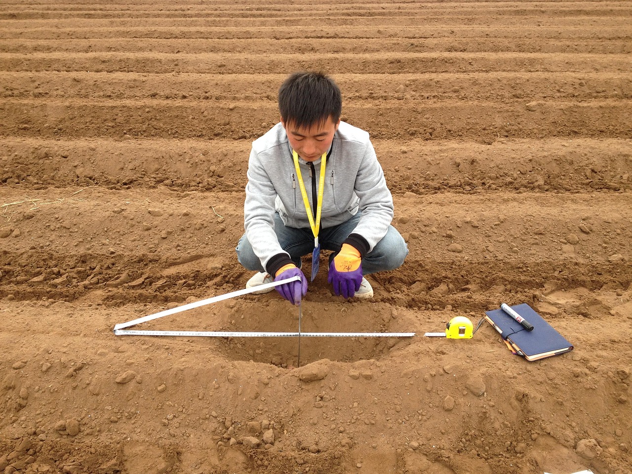
Physical measuring tools like measuring wheels, tape measures, and laser distance meters have their place, but they become impractical for larger areas. Imagine trying to measure a 50-acre farm with a tape measure, navigating through uneven terrain, obstacles, and vegetation. What takes days with traditional tools can be accomplished in minutes with a well-designed app.
📍 How Terrain Measuring Apps Actually Work
Understanding the technology behind land measuring applications helps users appreciate their capabilities and limitations. These apps primarily rely on GPS (Global Positioning System) technology, which communicates with satellites orbiting Earth to determine your exact location coordinates.
When you walk the perimeter of a property with your smartphone, the app records GPS coordinates at regular intervals, creating a digital map of your path. Advanced algorithms then calculate the area enclosed by these coordinates, accounting for the Earth’s curvature and elevation changes when necessary.
Modern apps enhance basic GPS functionality with several sophisticated features:
- Differential GPS corrections that improve accuracy by comparing your position with known reference points
- Satellite imagery overlays allowing you to visualize measurements on actual maps
- Automatic boundary detection that smooths out walking irregularities
- Multi-point measurement systems enabling complex shape calculations
- Elevation tracking for three-dimensional terrain analysis
The accuracy of these measurements typically ranges from 1 to 5 meters under normal conditions, with premium features potentially improving precision to sub-meter levels. While not replacing professional surveys for legal purposes, this accuracy suffices for the vast majority of everyday applications.
🌾 Practical Applications for Farmers and Agricultural Professionals
Agriculture represents one of the most valuable use cases for terrain measuring apps. Farmers routinely need accurate field measurements for crop planning, irrigation system design, fertilizer calculations, and yield estimation. Traditional methods consumed valuable time during busy planting and harvest seasons.
With a reliable land measurement app, agricultural professionals can quickly determine field sizes to calculate seed requirements precisely. Knowing that a field measures exactly 12.7 acres rather than an estimated 13 acres can translate to significant savings when purchasing expensive seeds or specialty crops.
Irrigation planning becomes considerably more efficient when farmers possess accurate field dimensions and can calculate water coverage requirements down to the square meter. This precision supports water conservation efforts while ensuring crops receive adequate hydration.
Livestock management also benefits from terrain measurement capabilities. Ranchers can divide pastures into optimally-sized grazing areas, implementing rotational grazing systems that improve soil health and animal nutrition. Calculating the precise area of each paddock ensures appropriate stocking densities.

🏡 Real Estate Professionals Leveraging Mobile Measurement Technology
Real estate agents, property developers, and land investors increasingly rely on terrain measuring apps as essential tools in their professional toolkit. Quick property assessments during site visits provide immediate information that helps price listings accurately and answer client questions on the spot.
When showing undeveloped land to potential buyers, agents can instantly demonstrate the buildable area, helping clients visualize construction possibilities. This immediate feedback creates more engaging property tours and can accelerate decision-making processes.
Property developers use these apps during initial site reconnaissance to evaluate potential projects before commissioning expensive surveys. Measuring multiple parcels in a single afternoon helps developers quickly identify properties worth pursuing and reject unsuitable options without significant investment.
Land investors benefit from the ability to verify seller claims about property sizes independently. Discrepancies between advertised acreage and actual measurements discovered through app-based surveys can inform negotiation strategies or reveal potential title issues requiring investigation.
🏗️ Construction and Landscaping Project Planning
Contractors, landscapers, and DIY homeowners find terrain measuring apps invaluable for project planning and material estimation. Whether designing a new patio, planning a fence installation, or calculating mulch requirements for garden beds, accurate measurements form the foundation of successful projects.
Landscaping professionals can walk property perimeters with clients, discussing design possibilities while simultaneously capturing exact measurements. This real-time collaboration improves client communication and reduces the need for return visits solely to gather dimensional information.
Material calculations become more accurate when based on precise measurements rather than rough estimates. Ordering the right quantity of pavers, fence panels, or topsoil the first time eliminates costly delays and reduces waste, improving project profitability and environmental sustainability.
Construction site managers use these apps to verify lot dimensions before breaking ground, ensuring projects comply with setback requirements and zoning regulations. Early detection of dimensional discrepancies prevents expensive mistakes that could halt construction mid-project.
🎯 Maximizing Accuracy: Tips and Best Practices
While terrain measuring apps offer impressive capabilities, users can significantly improve accuracy by following proven best practices. Understanding these techniques transforms good measurements into excellent ones.
GPS signal quality directly impacts measurement precision. Open areas with clear sky views provide optimal conditions, while dense tree cover, tall buildings, or deep valleys can interfere with satellite communication. When possible, conduct measurements during favorable weather conditions, as heavy cloud cover or storms may degrade GPS performance.
Walking technique matters more than most users realize. Maintaining a steady, moderate pace allows the app to record consistent coordinate points. Rushing creates gaps in data collection, while moving too slowly generates redundant points that may introduce measurement errors. Think of it as a comfortable hiking pace—not too fast, not too slow.
For maximum accuracy, walk slightly inside the actual boundary you’re measuring. GPS receivers are typically located near the top of your smartphone, so holding the device at chest height and walking the interior edge compensates for this offset, producing more accurate perimeter measurements.
Calibrating your device before beginning measurements ensures the app works with the most current GPS data. Most quality apps include calibration features—take a moment to use them. This small step can improve accuracy by several meters.
📊 Understanding Measurement Units and Conversions
Quality terrain measuring apps support multiple measurement units, accommodating users worldwide with different preferences and regional standards. Understanding these units and their relationships helps you work more effectively.
| Unit | Best For | Conversion Reference |
|---|---|---|
| Square Meters | International standard, construction projects | 1 acre = 4,047 m² |
| Acres | Agricultural land, large properties (US/UK) | 1 acre = 43,560 sq ft |
| Hectares | Large agricultural properties (international) | 1 hectare = 10,000 m² |
| Square Feet | Residential properties, small projects (US) | 1 acre = 43,560 sq ft |
| Square Yards | Landscaping, carpet/flooring calculations | 1 sq yard = 9 sq ft |
Most professional applications automatically convert between units with a simple tap, eliminating the need for manual calculations. This flexibility proves especially valuable when working with international clients or transitioning between different project types that use different measurement standards.
🔒 Legal Considerations and Limitations
While terrain measuring apps provide remarkable utility, users must understand their legal limitations. These applications should not replace professional land surveys for boundary disputes, property purchases, subdivision applications, or any legal proceedings requiring certified measurements.
Professional surveyors undergo extensive training, use specialized equipment with higher accuracy than consumer GPS, and carry professional liability insurance. Their work produces legally defensible documents recognized by courts, title companies, and government agencies.
App-based measurements work best for planning, estimation, and informational purposes. They help you understand your property, plan projects, and make informed decisions—but they don’t establish legal boundaries or property lines.
That said, many jurisdictions accept GPS-based measurements for certain agricultural reporting requirements, conservation program applications, and preliminary planning submissions. Always verify local regulations before relying on app measurements for official purposes.
⚡ Advanced Features Worth Exploring
Modern terrain measuring apps extend far beyond basic area calculations, offering sophisticated features that enhance their utility for professional and recreational users alike.
Perimeter tracking calculates the distance around your measured area—essential information for fence installation, trail planning, or security system design. This metric often proves as valuable as the area measurement itself.
Distance measurement between specific points helps you quickly determine distances across irregular terrain without walking the entire path. Point A to Point B measurements support planning access roads, water line installations, or sight line analysis.
Data export capabilities allow you to save measurements in various formats compatible with professional mapping software, spreadsheet applications, or project management tools. This integration bridges the gap between field measurements and office-based planning.
Historical tracking features store all your previous measurements, creating a personal database of properties you’ve measured. This proves invaluable for professionals managing multiple properties or tracking changes over time.
Sharing functionality enables you to send measurement reports to clients, colleagues, or contractors directly from the app, complete with satellite imagery, coordinates, and dimensional data. This streamlines communication and reduces the back-and-forth often required in project planning.
🌍 Environmental and Conservation Applications
Environmental scientists, conservationists, and outdoor educators increasingly incorporate terrain measuring apps into their fieldwork. These tools support habitat assessment, restoration project planning, and environmental education initiatives.
Wildlife habitat managers use area measurements to quantify nesting sites, feeding grounds, or protected zones. Tracking habitat size over time helps assess conservation program effectiveness and guides resource allocation decisions.
Restoration ecologists measure degraded areas requiring rehabilitation, helping them calculate seed mixes, calculate plant quantities, and estimate project costs. Accurate measurements ensure appropriate resource allocation without overextending limited conservation budgets.
Trail planners use these apps to design sustainable hiking paths that minimize environmental impact while providing quality recreational experiences. Measuring trail lengths and calculating disturbed areas helps organizations comply with environmental regulations.
Educators teaching GPS technology, geographic information systems, or environmental science find these apps excellent hands-on learning tools. Students gain practical experience with spatial technology while conducting meaningful field research.
🎒 Recreational Uses for Outdoor Enthusiasts
Beyond professional applications, terrain measuring apps serve recreational users in surprisingly diverse ways. Hikers, hunters, campers, and outdoor adventurers discover new uses for measurement technology that enhance their experiences.
Hunters use these apps to measure property boundaries, ensuring they remain on permitted land and avoid trespassing violations. Calculating food plot sizes helps them purchase the right quantities of seed and fertilizer for wildlife management efforts.
Campers measure suitable tent sites or plan primitive campground layouts for group outings. Understanding the exact dimensions of available space helps organize equipment efficiently and ensures everyone fits comfortably.
Adventure racers and orienteering competitors practice navigation skills using measurement apps, calculating distances between control points and planning optimal routes across varied terrain.
Property owners planning recreational features like disc golf courses, private trails, or obstacle courses use these apps to design layouts that maximize available space while creating engaging experiences.
💡 Troubleshooting Common Measurement Challenges
Even experienced users occasionally encounter measurement challenges. Understanding common issues and their solutions ensures consistently reliable results.
Inconsistent GPS signals cause the most frequent problems. If your measurements seem erratic, check that location services are enabled, ensure you’re not in airplane mode, and verify that the app has location permissions. Sometimes simply restarting your phone resolves connection issues.
Obstacles like buildings, trees, or terrain features can interrupt GPS tracking. When measuring properties with structures, walk around obstacles rather than through them, and avoid walking directly under dense canopy when possible.
Battery consumption during extended measurement sessions can be substantial since GPS requires significant power. Start measurements with a fully charged device, enable battery saver mode if available, or carry a portable charger for large properties.
Coordinate drift occurs when GPS positions gradually shift during stationary periods. Some apps address this with “pause” features that stop recording when you’re not moving. Use these features when you need to stop temporarily without ending your measurement.
🚀 The Future of Mobile Land Measurement Technology
Emerging technologies promise even more impressive capabilities for future terrain measuring applications. Understanding these developments helps users anticipate coming improvements and plan their tool investments accordingly.
Augmented reality integration will soon overlay measurement data directly onto live camera views, letting users see property boundaries, area calculations, and dimensional information superimposed on the actual landscape through their phone screens.
Artificial intelligence enhancements will automatically identify property features, distinguish buildings from open land, and suggest optimal measurement paths. Machine learning algorithms will learn from millions of measurements to provide increasingly accurate results.
Multi-constellation GNSS support will incorporate signals from GPS, GLONASS, Galileo, and BeiDou satellite systems simultaneously, dramatically improving accuracy and reliability, especially in challenging environments with limited sky visibility.
Drone integration will allow apps to control automated aerial surveys that capture measurements from above, combining ground-level GPS tracking with overhead imagery for comprehensive property analysis.
Blockchain verification may enable certified measurements that create tamper-proof records suitable for broader legal applications, potentially bridging the gap between app-based measurements and professional surveys for certain use cases.
✅ Choosing the Right App for Your Specific Needs
With dozens of terrain measuring apps available, selecting the right one requires evaluating your specific requirements against available features. Not all apps serve all purposes equally well.
Consider your primary use case first. Agricultural professionals need apps with hectare and acre support, historical tracking, and robust data export. Real estate agents benefit from satellite imagery overlays and client-friendly sharing features. DIY homeowners might prioritize simplicity and multiple unit options.
Accuracy requirements vary significantly between applications. Quick garden measurements tolerate several meters of error, while agricultural applications may require sub-meter precision. Understanding your accuracy needs helps you focus on apps with appropriate capabilities.
User interface quality dramatically affects field usability. Apps with cluttered interfaces, confusing navigation, or tiny buttons become frustrating when wearing gloves or working in bright sunlight. Download several apps and test them in realistic conditions before committing.
Offline functionality matters when measuring remote properties without cellular coverage. Some apps require constant internet connectivity, while others work entirely offline after downloading necessary map data.
Cost structures vary from free ad-supported versions to premium subscriptions with advanced features. Evaluate whether free versions meet your needs or if professional features justify subscription costs for your specific usage patterns.
🎓 Learning Resources and Skill Development
Maximizing your terrain measuring app’s potential requires developing specific skills and understanding best practices. Fortunately, abundant learning resources help users progress from beginners to experts.
Most quality apps include built-in tutorials that guide new users through basic operations. Investing twenty minutes in these tutorials prevents frustration and helps you discover features you might otherwise overlook.
YouTube channels dedicated to agricultural technology, surveying, and real estate frequently publish practical tutorials demonstrating measurement techniques, troubleshooting common problems, and comparing different applications.
Online forums and user communities provide valuable peer-to-peer support where experienced users share tips, answer questions, and discuss best practices. These communities often reveal creative applications and workarounds that official documentation doesn’t cover.
Practice makes perfect with measurement apps just as with any skill. Measure properties you know well first, comparing app results against known dimensions to develop confidence in your technique and understanding of the technology’s capabilities.
Advanced users benefit from learning basic surveying principles, GPS technology fundamentals, and coordinate system concepts. This deeper knowledge helps you interpret results more accurately and troubleshoot problems more effectively.
🌟 Transforming How We Interact with Land and Space
Terrain measuring apps represent more than convenient tools—they democratize spatial information that was once accessible only to professionals with expensive equipment. This democratization empowers individuals to understand, manage, and interact with their environments in fundamentally new ways.
Small-scale farmers in developing regions now access measurement capabilities that support more efficient land use and improved agricultural productivity. Property owners anywhere can verify their holdings independently, reducing dependence on costly professional services for routine measurements.
The environmental benefits extend beyond individual convenience. More accurate material calculations reduce waste, precise irrigation planning conserves water, and efficient land use supports sustainable development practices that benefit entire communities.
As these technologies continue evolving, the gap between consumer-grade and professional-grade measurements narrows. While certified surveys will always have their place for legal purposes, everyday measurement needs are increasingly well-served by smartphone applications that cost nothing or just a few dollars.
Whether you’re managing a farm, selling real estate, planning a construction project, or simply exploring the outdoors, modern terrain measuring apps provide powerful capabilities that were science fiction just a generation ago. By understanding their strengths, limitations, and optimal use cases, you can leverage this technology to work smarter, plan better, and interact more meaningfully with the spaces around you. The power to measure the world literally rests in your pocket—it’s time to put it to work. 📲