
Anúncios
Measuring land accurately is essential for property owners, builders, farmers, and surveyors who need precise dimensions for planning, legal documentation, and development projects.


Whether you’re buying a new piece of land, dividing property among family members, installing a fence, or planning a construction project, knowing how to measure terrain correctly can save you time, money, and potential legal disputes. Understanding the various methods available—from traditional tools to modern technology—empowers you to choose the approach that best fits your needs and budget.
In this comprehensive guide, we’ll explore everything you need to know about measuring land, including traditional techniques, modern digital solutions, common challenges, and practical tips to ensure accuracy. By the end, you’ll have the knowledge to confidently measure any terrain, regardless of its size or complexity.
🗺️ Why Accurate Land Measurement Matters
Precision in land measurement isn’t just about numbers on paper—it has real-world implications that affect property value, legal boundaries, construction quality, and agricultural productivity. When measurements are incorrect, the consequences can range from minor inconveniences to significant financial losses.
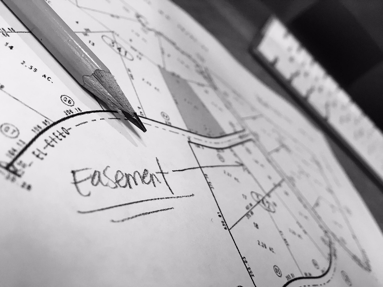
Property disputes frequently arise from inaccurate boundary measurements. Neighbors may inadvertently build structures on each other’s land, leading to costly legal battles and forced removals. Proper measurement documentation protects your investment and provides clear evidence in case of disagreements.
For construction projects, accurate terrain measurements are fundamental to proper planning. Architects and engineers rely on precise dimensions to create feasible designs, calculate material quantities, and ensure structural integrity. Even a small measurement error can result in wasted materials, project delays, and compromised safety.
Farmers and agricultural professionals depend on accurate land measurements to optimize crop yields, plan irrigation systems, and apply fertilizers and pesticides correctly. Knowing the exact acreage helps in resource allocation and ensures compliance with agricultural regulations.
📏 Traditional Methods for Measuring Terrain
Before the digital revolution, surveyors relied entirely on physical tools and mathematical principles. These traditional methods remain relevant today, especially in areas without reliable technology access or when cross-verification is needed.
Using Measuring Tape and Ropes
The simplest approach involves using a long measuring tape or calibrated rope to physically measure the land’s boundaries. This method works best for small, relatively flat parcels with clear access points. Two people typically work together, stretching the tape along each boundary line and recording the distances.
For rectangular or square plots, measure all four sides and both diagonals to verify accuracy. The diagonal measurements help confirm right angles and detect any irregularities in the shape. Always measure twice to minimize errors, and be aware that slopes and terrain variations can affect accuracy.
Chain Surveying Technique
Chain surveying is a traditional method that uses a metal chain or tape of known length to establish a network of triangles covering the terrain. By measuring the sides of these triangles, surveyors can calculate the total area using trigonometric formulas.
This technique works well for irregular shapes and larger properties. The process involves identifying fixed reference points, creating a baseline, and then building interconnected triangles that cover the entire area. While time-consuming, chain surveying provides reliable results when performed correctly.
The Compass and Pace Method
For rough estimates in wilderness areas or large properties, the compass and pace method offers a practical solution. This technique involves walking the perimeter while counting steps and using a compass to determine direction changes. By knowing your average pace length, you can estimate distances.
While not precise enough for legal documentation or construction purposes, this method provides useful preliminary information for property assessment, hiking trail planning, or initial land evaluation.
📱 Modern Digital Solutions for Land Measurement
Technology has revolutionized how we measure terrain, making the process faster, more accessible, and often more accurate. Digital tools range from smartphone applications to professional-grade GPS devices and drone technology.
GPS-Based Measurement Apps
Smartphone applications have democratized land measurement, allowing anyone with a mobile device to calculate property dimensions with reasonable accuracy. These apps use GPS satellite signals to track your movement as you walk the perimeter of the land.
Modern GPS measurement apps offer impressive features including area calculation, perimeter measurement, distance tracking, coordinate recording, and data export options. Some advanced applications provide accuracy within a few feet, which is sufficient for many practical purposes.

The convenience of having a powerful measurement tool in your pocket cannot be overstated. Whether you’re a farmer checking field boundaries, a real estate agent evaluating properties, or a homeowner planning a garden, GPS apps provide instant results without requiring specialized equipment or expertise.
Professional GPS Devices
For situations demanding higher accuracy, professional-grade GPS receivers offer centimeter-level precision. These devices use advanced technology including differential GPS (DGPS) and real-time kinematic (RTK) positioning to achieve survey-grade accuracy.
Land surveyors, civil engineers, and large-scale agricultural operations commonly use professional GPS equipment. While significantly more expensive than smartphone apps, these devices provide the precision required for legal surveys, construction layout, and detailed topographic mapping.
Drone Technology and Aerial Mapping
Drones equipped with cameras and GPS have emerged as powerful tools for land measurement and mapping. By flying predetermined patterns over a property, drones capture hundreds of overlapping images that specialized software processes into detailed maps and 3D models.
This technology excels at measuring large or inaccessible areas, providing not just dimensions but also topographic information, vegetation analysis, and detailed visual documentation. The initial investment is higher, but for professionals managing multiple properties or large acreage, drones offer unmatched efficiency.
🎯 Step-by-Step Guide to Measuring Your Land
Regardless of which method you choose, following a systematic approach ensures better results and helps you avoid common mistakes. Here’s a practical guide to measuring terrain effectively.
Preparation and Planning
Before you begin measuring, gather all available property documents including deeds, previous surveys, plat maps, and tax records. These documents provide reference points and help verify your measurements against official records.
Identify clear boundary markers such as stakes, fences, trees, or permanent structures mentioned in property documents. If markers are missing or unclear, consider hiring a professional surveyor to establish or verify them before taking measurements.
Check weather conditions, as rain, snow, or extreme heat can affect measurement accuracy and make fieldwork uncomfortable. Choose a clear day with good visibility for best results.
Executing the Measurement
Start from a clearly identified corner or reference point. If using a GPS app, allow the device to acquire a strong satellite signal before beginning—this typically takes a few minutes in open areas.
Walk slowly and steadily along the property boundary, keeping as close to the actual line as possible. If obstacles force you off the line, try to compensate by returning to the boundary as soon as practical.
Record measurements for each side of the property, noting any angle changes or irregular features. Take photos of boundary markers and distinctive features for future reference.
Verification and Documentation
After completing the initial measurement, repeat the process to verify your results. Discrepancies between measurements indicate potential errors that need investigation.
Calculate the total area using appropriate formulas for your land’s shape. For irregular parcels, divide the area into simpler shapes (rectangles, triangles) and sum their individual areas.
Create a sketch showing dimensions, boundaries, reference points, and notable features. This visual record complements numerical data and helps communicate information clearly to others.
⚠️ Common Challenges and How to Overcome Them
Land measurement rarely proceeds without obstacles. Understanding common challenges and their solutions helps you achieve accurate results even in difficult conditions.
Dealing with Slopes and Elevation Changes
Sloped terrain presents a significant challenge because direct measurements along the ground surface overestimate horizontal distances. On a steep hill, the actual horizontal distance is shorter than the distance you walk.
Professional surveyors use instruments that measure horizontal distances regardless of slope. For simpler methods, you can apply slope correction formulas if you know the angle of incline, or break the measurement into shorter segments on relatively level ground.
GPS apps typically measure horizontal distances automatically by using elevation data from satellites, making them particularly useful for sloped terrain compared to tape measures.
Obstacles and Inaccessible Areas
Buildings, water bodies, dense vegetation, or other obstacles sometimes prevent direct measurement along boundary lines. In these cases, you may need to establish offset lines parallel to the boundary or use triangulation from accessible points.
Modern technology offers solutions here too—drones can survey areas that are difficult or dangerous to access on foot, while GPS measurements can sometimes be taken from a parallel path and adjusted mathematically.
GPS Signal Interference
GPS accuracy suffers in areas with heavy tree cover, tall buildings, or canyon-like terrain where satellite signals are blocked or reflected. Urban environments with many tall structures can create “urban canyons” that degrade GPS performance.
To minimize these issues, take measurements during times when satellite coverage is optimal (usually mid-morning or mid-afternoon), allow extra time for signal acquisition, and consider averaging multiple measurements taken at different times for better accuracy.
📊 Understanding Measurement Units and Conversions
Land measurements use various units depending on location, purpose, and tradition. Understanding these units and how to convert between them is essential for interpreting property documents and comparing measurements.
In the United States, land is commonly measured in acres, square feet, or square yards. One acre equals 43,560 square feet or approximately 4,047 square meters. Real estate listings typically use acres for larger properties and square feet for smaller plots.
Many countries use the metric system, measuring land in square meters, hectares, or square kilometers. One hectare equals 10,000 square meters or approximately 2.47 acres, making it convenient for agricultural and large property measurements.
Some regions still use traditional units like rods, chains, or furlongs in historical property descriptions. Understanding these conversions helps when researching older deeds or comparing properties across different measurement systems.
💡 Practical Tips for Maximum Accuracy
Small improvements in technique can significantly enhance measurement accuracy, whether you’re using traditional tools or modern technology. These practical tips help you get the best results from any measurement method.
Always measure multiple times and average the results. Statistical averaging reduces random errors and provides more reliable data than a single measurement.
Keep your measuring tools calibrated and in good condition. Tapes can stretch over time, GPS devices need updated satellite data, and smartphone apps should be kept current with the latest software versions.
Document everything thoroughly, including date, weather conditions, measurement method, equipment used, and any unusual circumstances. This documentation proves valuable if measurements are questioned later or need to be verified.
When possible, compare your measurements with existing records, neighboring property surveys, or municipal GIS data. Significant discrepancies warrant further investigation rather than assumptions about which is correct.
🏛️ Legal Considerations and Professional Surveys
While DIY measurement methods work well for many purposes, certain situations require professional land surveys performed by licensed surveyors. Understanding when professional help is necessary protects your interests and ensures legal compliance.
Property transactions, boundary disputes, subdivision applications, and construction permits typically require certified surveys. These official documents carry legal weight and provide protection that informal measurements cannot match.
Professional surveyors carry liability insurance, use calibrated equipment, and follow rigorous standards that ensure accuracy and defensibility. Their work creates legal records that courts and government agencies accept as authoritative.
Even if you perform your own measurements for planning purposes, consider hiring a professional surveyor for final verification before making major decisions or investments based on those measurements.
🌾 Special Applications for Different Land Uses
Different land uses require different approaches to measurement, with varying accuracy requirements and practical considerations. Tailoring your measurement approach to your specific purpose ensures you gather the right information efficiently.
Agricultural Land Management
Farmers need accurate field measurements for calculating seed, fertilizer, and pesticide quantities, planning irrigation systems, and maximizing crop yields. GPS apps work exceptionally well for agricultural applications, allowing quick field measurement while planning seasonal operations.
Many agricultural GPS apps include features specifically designed for farming, such as row spacing calculation, yield mapping integration, and compatibility with precision agriculture equipment.
Construction and Development Projects
Construction requires the highest accuracy levels, as errors translate directly into costly mistakes. Professional surveys establish exact corners, elevations, and reference points that guide all subsequent work.
During construction, frequent verification measurements ensure work proceeds according to plans. Modern building projects often combine traditional surveying with GPS technology and laser measurement tools for comprehensive quality control.
Environmental and Conservation Work
Environmental professionals measure land for habitat assessment, conservation easements, restoration projects, and environmental impact studies. These applications often involve irregular natural boundaries and difficult terrain where GPS technology excels.
Drones equipped with multispectral cameras can simultaneously measure land area and assess vegetation health, water features, and wildlife habitat characteristics, providing comprehensive data for conservation planning.
🚀 The Future of Land Measurement Technology
Emerging technologies continue to make land measurement more accessible, accurate, and versatile. Understanding these trends helps you anticipate future capabilities and plan for evolving measurement needs.
Satellite technology improvements are increasing GPS accuracy to centimeter levels even on consumer devices. New satellite constellations from multiple countries provide better coverage and reliability worldwide.
Artificial intelligence and machine learning are being integrated into measurement applications, automatically identifying boundaries from aerial imagery, detecting measurement errors, and suggesting corrections based on surrounding property patterns.
Augmented reality applications are emerging that overlay property boundaries and measurement data onto real-time camera views, helping users visualize property lines and dimensions while standing on the land.
Integration between different technologies creates powerful workflows—drones capture imagery, AI processes it into measurements, and cloud platforms share the data with all project stakeholders instantly, regardless of location.
✅ Making Informed Decisions About Land Measurement
Choosing the right measurement approach depends on your specific needs, budget, accuracy requirements, and the characteristics of the land being measured. By understanding the options available and their respective strengths, you can make informed decisions that balance cost, convenience, and precision.
For informal purposes like garden planning or rough property assessment, smartphone GPS apps provide excellent value and sufficient accuracy. They require minimal investment and no specialized training, making them accessible to everyone.
Professional applications demanding legal defensibility or construction-grade accuracy still require traditional surveying methods performed by licensed professionals. The additional cost represents insurance against expensive errors and legal complications.
Many situations benefit from a hybrid approach—using accessible technology for preliminary measurements and planning, then engaging professionals for final verification and official documentation. This strategy maximizes efficiency while ensuring accuracy where it matters most.
Whatever method you choose, remember that careful technique, thorough documentation, and verification through multiple measurements will always improve your results. The knowledge and confidence gained from understanding land measurement empower you to manage property more effectively and make better decisions about your most valuable asset—the land itself.